Sheet 24 · England Road Trips · 15 min read
Driving Distances in England
Driving distances in England with honest mile counts and realistic drive times between cities. Big distance chart, why journeys run long, and daily
 Sheet 24
Contents 10 sections
The honest truth about driving distances in England is that they look short on the map and run long in real life. The first time I drove from London to St Ives, I believed the sat-nav. It promised five hours and ten minutes. We pulled into the car park above Porthmester beach almost eight hours after we’d left, sunburnt through the windscreen, out of snacks, and slightly delirious. The map wasn’t lying, exactly. It just didn’t know it was a Saturday in August, that the M5 had turned into a 40-mile car park near Bristol, and that the last few miles into St Ives go at the speed of a confused seagull.
That drive taught me the single most useful thing about road-tripping here, and it’s the thing this whole page exists to fix.
Quick Answer: Driving Distances in England (and How Long They Really Take)
Driving distances in England are short on paper but slow in practice. Most journeys between major cities are under 300 miles, yet real drive times run 20 to 50 percent longer than the sat-nav estimate once you factor in traffic, roadworks, fuel stops, and narrow final miles. As a rule, add at least half an hour for every two hours the map predicts, and plan no more than 200 to 250 miles in a relaxed day.
That’s the headline. Now let me give you the numbers, because that’s what you actually came for. I’ve done nearly all of these drives, some of them dozens of times, and I’ll tell you exactly where the map and reality part ways.
If you want the route-by-route inspiration rather than the logistics, the rest of the England road trips series has you covered. This page is the reference you’ll keep coming back to: the “how far, how long, really?” companion that the regional guides point you to when you start sketching out days on a map.
The At-a-Glance Distance and Drive-Time Chart
Here’s the master table. Distances are road miles (not straight-line), rounded sensibly. Drive times are off-peak estimates as of 2026 — think a Tuesday at 10am with no incidents. Every single one of these can blow out on a busy Friday or summer Saturday, which is the whole point of the sections below.
| From | To | Approx miles | Approx drive time (off-peak) | Main roads |
|---|---|---|---|---|
| London | Bath | 115 | around 2h 15m | M4 |
| London | The Cotswolds (Burford) | 80 | around 1h 40m | M40, A40 |
| London | Oxford | 60 | around 1h 20m | M40 |
| London | Stonehenge | 90 | around 1h 50m | M3, A303 |
| London | Cornwall (St Ives) | 290 | around 5h 30m | M4, M5, A30 |
| London | Devon (Exeter) | 200 | around 3h 45m | M4, M5 |
| London | The Lake District (Windermere) | 270 | around 5h | M1, M6 |
| London | York | 210 | around 4h | M1, A1(M) |
| London | The Peak District (Bakewell) | 165 | around 3h 15m | M1 |
| London | Cambridge | 65 | around 1h 30m | M11 |
| London | Edinburgh (border-bound) | 400 | around 7h 15m | M1, A1(M) or M6 |
| Bath | Cornwall (St Ives) | 210 | around 3h 45m | M5, A30 |
| Bath | The Cotswolds (Bourton) | 45 | around 1h 10m | A46 |
| Manchester | The Lake District (Windermere) | 85 | around 1h 30m | M6 |
| Manchester | York | 70 | around 1h 30m | M62 |
| York | The Lake District (Windermere) | 120 | around 2h 30m | A59, M6 |
| York | Edinburgh | 200 | around 4h | A1(M), A1 |
| Liverpool | The Lake District (Windermere) | 95 | around 2h | M6 |
| Birmingham | The Cotswolds (Stow) | 45 | around 1h 10m | A44 |
| Bristol | The Cotswolds (Tetbury) | 35 | around 50m | M4, A46 |
Bookmark that. But a table tells you what the map thinks. The next part tells you what the road does.
Why It Takes Longer Than You Think
I want to be blunt here, because optimism is what ruins English road trips. The sat-nav gives you a best-case number computed from average speeds. It does not know what day it is, and it is congenitally optimistic about the bits of the journey that aren’t motorway. Here’s where the time actually disappears.
The M25 tax
Almost every drive out of London touches the M25, the orbital motorway, and the M25 is a mood. Between roughly junctions 10 and 16 — the western arc past Heathrow — average peak speeds drop below 25 mph, and some sections near Heathrow carry over 200,000 vehicles a day. It’s regularly voted the country’s worst motorway, and it earns it. If your route uses the M25 and you’re setting off between 7–9am or 4–7pm, mentally add 20 to 40 minutes before you’ve even left London’s gravity. I genuinely plan departures around avoiding it.
The M5 to the southwest on a summer Saturday
This one deserves a memorial plaque. The M5 is the artery to Devon and Cornwall, and on summer Saturdays it does not flow — it congeals. The notorious stretch is southbound between junctions 27 and 31 (roughly Tiverton down past Exeter), and the merge near Bristol, where the M5, the M4 and traffic out of Wales all pile in together. National Highways data has flagged a “Friday trap” where a normal stretch into Devon can add the best part of an hour. A drive the map calls five hours can become eight. I’ve lived that eight. Travel midweek, or leave before 7am, or accept your fate.
The A303 and the Stonehenge crawl
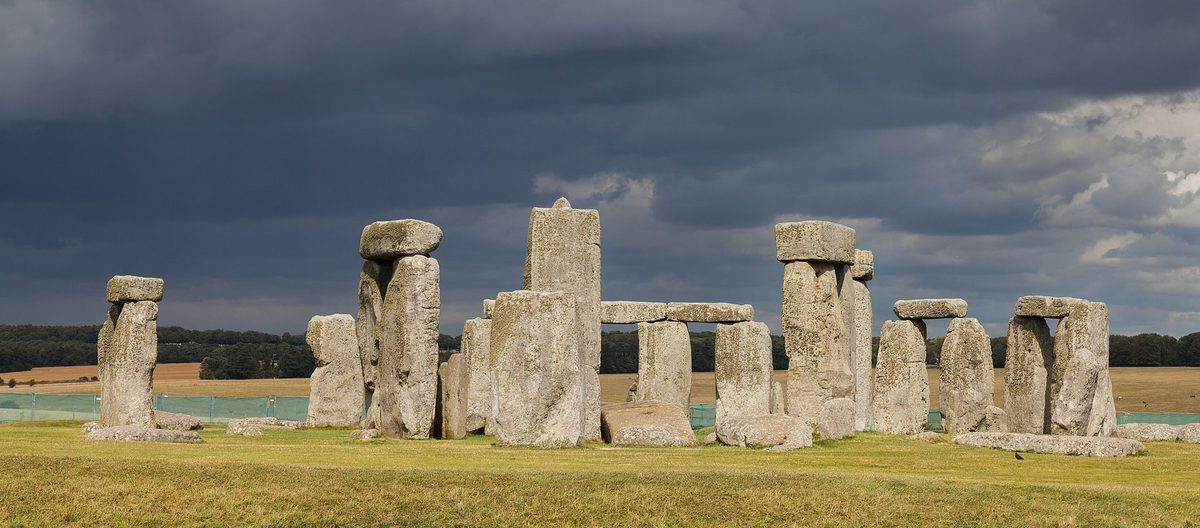
If you take the A303 to the southwest instead of the M5 — and it’s a lovely, more scenic line — you’ll hit the single-carriageway pinch point past Stonehenge. The stones sit right beside the road, everyone slows to gawp, and a ten-minute section can swallow an hour on a busy weekend. Beautiful road, genuine bottleneck. Know it’s coming.
The narrow final miles
This is the one tourists never budget for. England’s motorways are fast and the dual carriageways are fine, but the last stretch into the places you actually want to go — a Cotswold village, a Cornish cove, a Lake District valley — is often single-track, hedge-lined, tractor-prone, and slow. The A30 gets you most of the way to St Ives at a good clip, then the final descent crawls. The Lakes look close on the map and then you meet the road to Wasdale. Budget 30 to 45 minutes of “nearly there but not really” on rural endings.
Roadworks, fuel and the human bladder
Smart motorways, resurfacing, average-speed-camera zones at 50 mph — there’s nearly always a stretch of roadworks somewhere on a long English route, and it’s rarely on the map until you’re in it. Add to that the simple reality that you’ll want fuel and a coffee and a leg-stretch. A motorway services stop is rarely under 20 minutes once you’ve queued for the loo and resisted the Krispy Kreme stand. (You won’t resist.)
Put it all together and my honest rule is this: take the sat-nav’s number and add at least 30 minutes per two hours. On a peak summer Saturday to the southwest, add a lot more.
The Southwest Corridor: London, Bath, Devon and Cornwall
This is the busiest and most misjudged corridor in the country, and it’s where most first-time visitors come unstuck. The shape of it is simple: M4 west out of London, then M5 south at Bristol, then A30 (or A38) into the deep southwest.
London to Bath is the gentle one: around 115 miles, about 2h 15m off-peak on the M4. Very doable as a day trip’s first leg, and a logical overnight stop on the way further west.
London to Cornwall is the marathon. To St Ives or Penzance you’re looking at roughly 290 miles and an honest 5h 30m off-peak — and that “off-peak” is doing heavy lifting. On a summer Saturday I’d block out a full day and not be surprised by seven or eight hours. Bath to Cornwall trims it to about 210 miles and 3h 45m, which is exactly why so many people break the journey in Bath: it turns one brutal day into two civilised ones.
My strong advice for anyone heading to Cornwall: don’t arrive and depart on a Saturday. Make your changeover day a Sunday or a midweek day if you possibly can, travel early, and treat the M5 with the respect you’d give a tide. If you’re building the trip, the Cornwall road trip guide handles what to do once you’re down there, and the wider south England road trip covers stitching Bath, the coast and the moors together.
The Northern Corridor: the Lake District, the Peak District and Beyond
North of the Midlands the driving gets easier and, frankly, more pleasant. The M6 is the spine, and once you’re past Birmingham the traffic generally thins.
London to the Lake District (Windermere) is around 270 miles and about 5 hours via the M1 then M6 — a genuinely long but straightforward day, almost entirely on motorway until the final approach. The good news is that the Lakes are far more accessible from the northern cities. Manchester to Windermere is only about 85 miles and 1h 30m; Liverpool is similar; even York to the Lakes is a manageable 2h 30m or so across the A59 and M6. This is why I often tell people flying into Manchester that the Lakes are basically on the doorstep.
A word on the Lakes specifically: the M6 gets you to the edge fast, but the valleys inside the National Park are slow, narrow, and busy in season. Distances within the Lakes are tiny — ten miles between villages — but can take 40 minutes over a pass like Hardknott or Kirkstone. Don’t plan your in-park days by mileage; plan them by patience. The Lake District road trip guide gets into the specific valley loops.
For the bigger picture of doing the whole top half of the country, my northern loop lays out how the Lakes, the Dales, the Peaks and the northeast connect.
York, Yorkshire and the Run to the Border
York is one of my favourite road-trip bases because it’s so well placed: about 210 miles and 4 hours from London on the M1/A1(M), and a quick 1h 30m from Manchester on the M62. From York, the rest of the north opens up easily — the Dales, the Moors, the coast at Whitby — and none of it is far in pure miles, though the moor roads are slow and gloriously empty.
If you’re continuing toward Scotland, York to Edinburgh is around 200 miles and about 4 hours up the A1, passing Newcastle and the dramatic Northumberland coast on the way to the border. It’s one of the more scenic long drives in England, especially the final stretch through the borderlands. (We stay on the England side here — but it’s worth knowing the numbers if Edinburgh is your finale.)
For everything to do once you’re parked up in God’s Own County, see the Yorkshire road trip.
The Cotswolds and Cross-Country Hops
Not every drive is an epic. Some of the best English road-tripping is short, lane-based pottering, and the Cotswolds are the home of it.
London to the Cotswolds is gloriously close: the gateway village of Burford is about 80 miles and 1h 40m on the M40 and A40. From the western side, Bath to the Cotswolds is around 45 miles, Bristol to Tetbury barely 35, and Birmingham to Stow about 45. The catch with the Cotswolds is never the distance — it’s that the villages are linked by narrow, twisting, postcard-pretty lanes where you’ll average maybe 25–30 mph and meet the occasional horsebox. That’s part of the charm, but don’t plan to “see eight villages in a morning.” Three, slowly, with a pub lunch, is the right ambition. The Cotswolds road trip maps out the prettiest loop.
Cross-country hops that avoid London are often quicker than you’d guess. Manchester to York is 1h 30m. Bristol to Bath is 20 minutes. The thing to watch is that England’s road network is radial — it fans out from London — so some sideways journeys (say, Norwich to Cardiff) involve more zig-zagging than the crow-flies distance suggests.
How Many Miles a Day Is Sensible?
Here’s where I get opinionated, because this is the planning decision that makes or breaks a trip.
Legally and physically, you can drive a long way in a day. Even professional HGV drivers are capped at around nine hours, and the official advice (Highway Code Rule 91) is a 15-minute break every two hours, plenty of sleep beforehand, and no long drives between midnight and 6am when alertness bottoms out. The RAC echoes this: stop every couple of hours, swap drivers if you can, and don’t push through tiredness. On pure motorway, a fit and rested driver covering 400–500 miles in a day is doable.
But “doable” and “enjoyable on holiday” are different animals. Here’s my actual rule for road trips here:
- Sensible relaxed day: 150–200 miles. This leaves real time to stop, explore, and not arrive frazzled. It’s my default.
- A solid travel day: 250–300 miles. Fine if it’s mostly motorway and you start early. London to the Lakes or London to Cornwall lives here — these are “transit days,” not “sightseeing days.”
- The hard ceiling I’d set for fun: 350 miles. Beyond that on holiday and you’re spending your day staring at tarmac instead of England.
The mistake I see constantly is people treating a 270-mile motorway day and a 120-mile country-lane day as equivalent. They are not. A hundred miles of Cotswold or Lake District lanes is more tiring, and slower, than two hundred of M6. Plan by time and road type, not just by miles.
And please build in a buffer. If the map says four hours, hold five. The afternoon you arrive at your cottage with daylight to spare and a glass of something in hand — instead of white-knuckled and late — is the afternoon you’ll remember the trip fondly.
For the bigger structural question of how to slot all this into a real trip, how many days in England and the ready-made England road trip itinerary for 10 days both lean on exactly these distance realities.
A Few Practical Notes Before You Set Off
A scatter of things I wish someone had told me, that don’t fit neatly elsewhere:
- Fuel up before the final leg. Petrol stations thin out dramatically in rural Cornwall, the Lakes and the Dales, and they’re pricier and may close early. Fill the tank at the last motorway services.
- Motorway services are your friend. They’re roughly every 20–30 miles on major routes, open 24 hours, and a fine place to break the two-hour rule. They’re also the only reliable loos for miles once you leave the network.
- The clock matters more than the calendar. A 6am Saturday start can beat a 10am Tuesday. Leaving early is the single highest-value trick in English driving.
- Sundays are quietly brilliant for long drives — less freight, lighter commuting — though popular tourist roads still busy up by late morning in summer.
- Don’t trust “fastest route” blindly on busy days; the sat-nav will sometimes fling you down a tiny lane to save four minutes and cost you your nerves.
If you’re sorting the car-and-driving side of the trip from scratch, renting a car in England and — if you’re coming from across the Atlantic — driving in England for Americans are the two guides to read next. And if all this driving talk is making you wonder whether the train is easier for parts of your trip, it sometimes genuinely is: weigh it up with the England transport overview and the England train travel guide.
Final Thoughts
After enough years and enough miles, I’ve made my peace with English driving distances. The numbers are friendly — most of the country is a few hours from most of the rest of it — but the road has a personality, and ignoring it is how you end up sunburnt through a windscreen on the M5 at the speed of a confused seagull.
So here’s the whole philosophy in a sentence: trust the miles, distrust the minutes, and plan your days by how much you want to actually see. Build a buffer, leave early, fuel up before the lanes, and treat a 200-mile day as a good day’s driving rather than a failure of ambition. Do that, and England unfolds at exactly the pace it deserves — which is, more often than not, the pace of a pub lunch and a long view.
Now go and sketch out your days. Start with the England road trips hub for the routes, lean on this page for the numbers, and don’t forget to glance at the best time to visit England before you commit to that August Saturday on the M5. Safe travels.
Research and Source Notes
Distances and drive times in this guide are road-based figures, cross-checked against AA Route Planner and Google Maps style estimates and rounded for clarity; all times are off-peak approximations as of 2026 and will vary with traffic, season and roadworks.
- GOV.UK — The Highway Code, Rules 89–102 (Fitness to drive, including Rule 91 on tiredness and breaks): official guidance on rest breaks (15 minutes every two hours), avoiding driving between midnight and 6am, and planning long journeys. gov.uk/guidance/the-highway-code
- National Highways: traffic data and seasonal getaway advice for major routes including the M5, M25 and M6, and the identification of peak summer travel days. nationalhighways.co.uk
- The AA — driver tiredness and summer travel advice: guidance on safe driving hours, breaks and planning ahead. theaa.com/driving-advice/safety/tired-drivers
- RAC — falling asleep at the wheel and long-distance driving advice: recommendations on break frequency, driver swaps and recognising fatigue. rac.co.uk/drive/advice
- Lake District National Park Authority — getting to and around the Lakes: official travel and access information for the National Park. lakedistrict.gov.uk
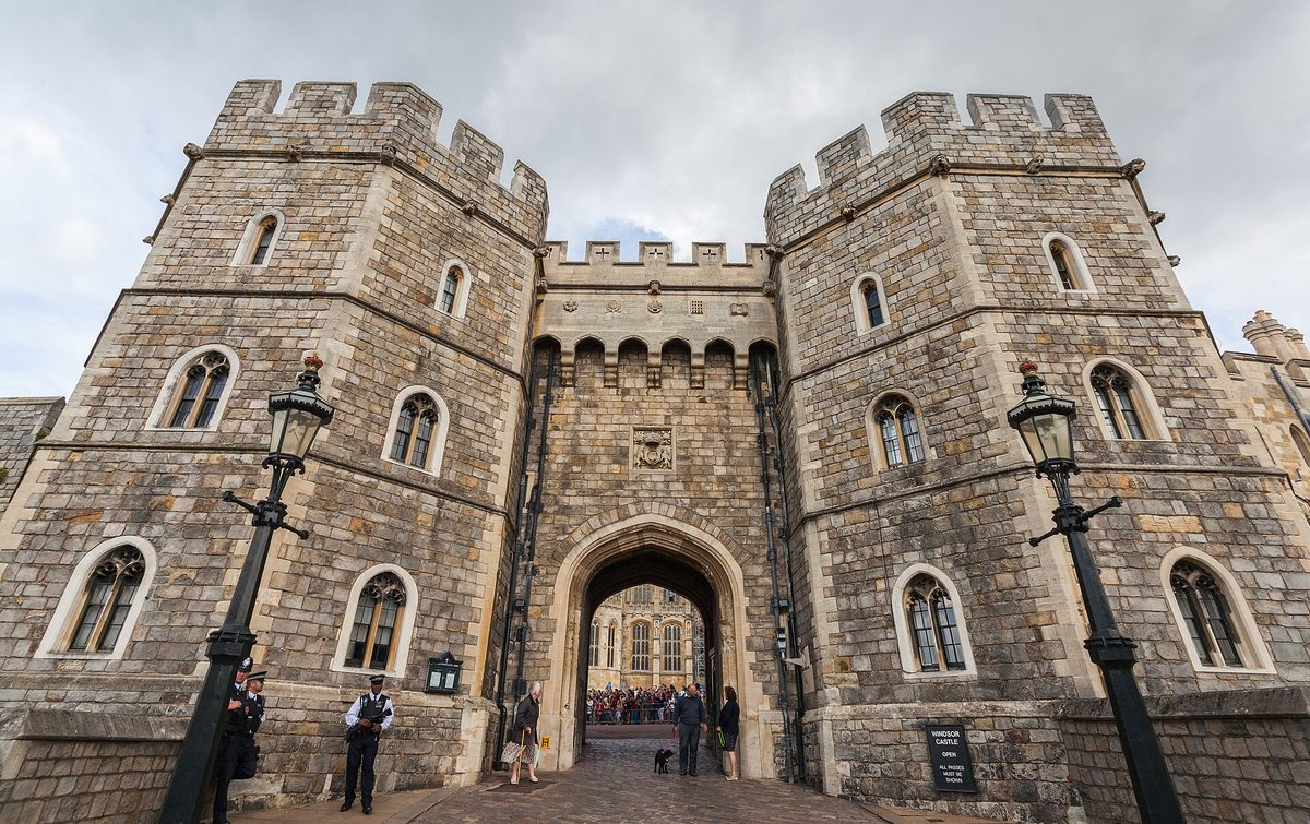
Photo Credits
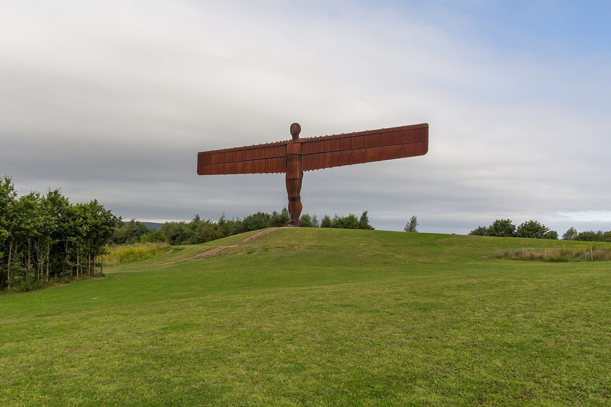
- Driving distances in England often run through the north past the Angel of the North sculpture near Gateshead — Photo: Mike Peel / CC BY-SA 4.0 via Wikimedia Commons. Source
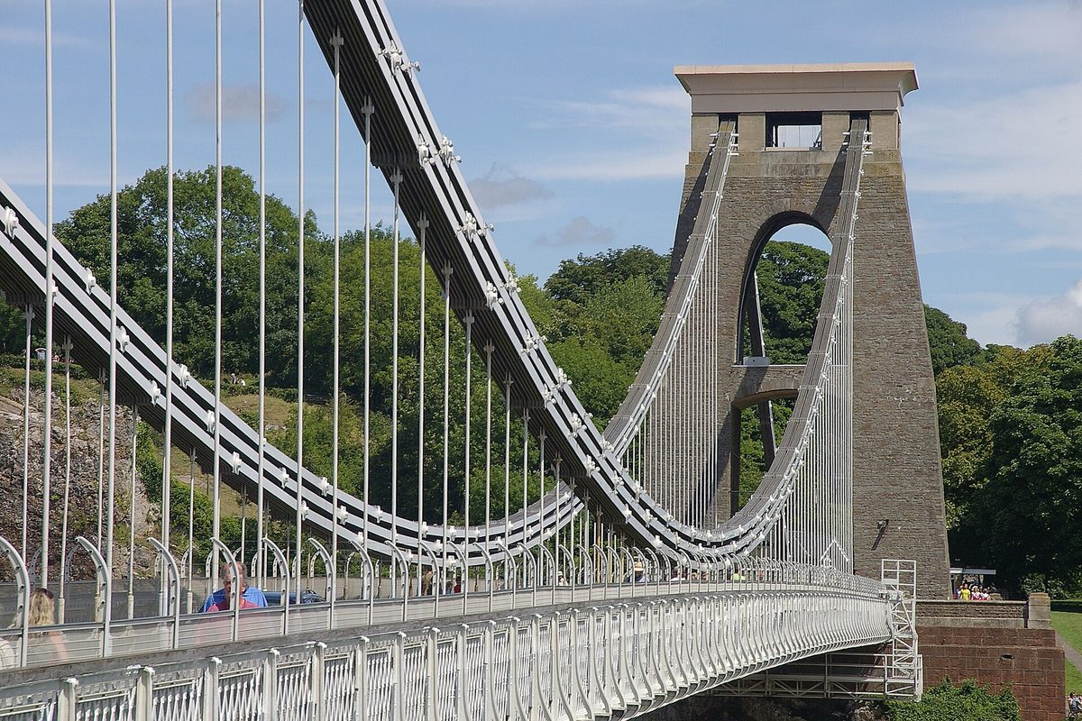
- The Clifton Suspension Bridge in Bristol, where the M4 and M5 meet and traffic to the southwest backs up — Photo: mattbuck (category) / CC BY-SA 3.0 via Wikimedia Commons. Source
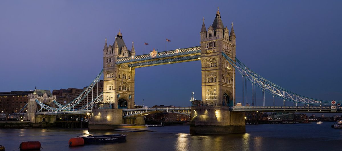
- Tower Bridge in London, the starting point for most driving distances in England measured from the capital — Photo: Diliff / CC BY-SA 3.0 via Wikimedia Commons. Source
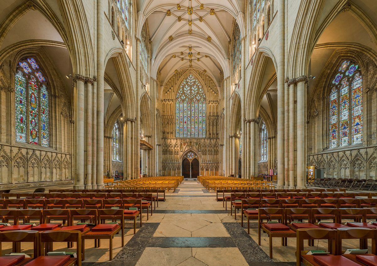
- York Minster, a central hub for measuring driving distances in England across the north — Photo: Diliff / CC BY-SA 3.0 via Wikimedia Commons. Source
- Windsor Castle just west of London off the M4, a popular first stop when measuring driving distances in England — Photo: Diego Delso / CC BY-SA 4.0 via Wikimedia Commons. Source
Frequently asked questions
How far is it to drive across England?
It's smaller than people expect. North to south — say Land's End in Cornwall to the Scottish border near Berwick — is around 500 miles, a long but feasible journey of roughly 9–10 hours of pure driving, best split over two days. East to west is far shorter, often under 150 miles. England is compact; it's the traffic, not the distance, that eats your time.
Why does my sat-nav underestimate English drive times?
Sat-navs calculate from average road speeds and don't know your travel day. They underestimate because they can't fully price in peak congestion, the M25 and M5 crawls, roadworks, fuel and rest stops, and the slow narrow lanes on rural final approaches. As a working rule, add at least 30 minutes for every two hours the device predicts, and far more on summer Saturdays.
What's the worst day to drive to Cornwall and Devon?
A summer Saturday, without question — especially southbound on the M5 between roughly junctions 27 and 31. School-holiday Fridays and bank holiday weekends are nearly as bad. National Highways flags these as peak getaway days. Travel midweek if you can, or set off before 7am, and treat any Saturday changeover in the southwest as a recipe for hours of queuing.
How many miles should I drive per day on an England road trip?
For a relaxed holiday, I'd aim for 150–200 miles a day, treating that as comfortable sightseeing pace. Up to 250–300 is fine for a dedicated transit day on mostly motorway, started early. Beyond about 350 miles you're sacrificing the trip to the road. Crucially, plan by road type and time, not miles alone — country lanes are far slower than motorways.
Is it faster to take the M5 or the A303 to the southwest?
It depends entirely on the day. The M5 is faster and more reliable most of the time, but jams catastrophically on summer weekends. The A303 is more scenic and can win midweek, but it bottlenecks badly at the Stonehenge single-carriageway pinch point, where a ten-minute stretch can take an hour on a busy Saturday. Check live traffic and stay flexible.
How long does it take to drive from London to the Lake District?
Around 5 hours off-peak for the roughly 270 miles via the M1 and M6 — a long but straightforward, almost entirely motorway day. Budget closer to 6 hours with a couple of breaks and any holiday traffic, and remember the slow narrow valley roads once you're actually inside the National Park, where short distances take surprisingly long.